Location
Province of Pisco and Ica, region of Ica.
 Search in Map
 Alerts

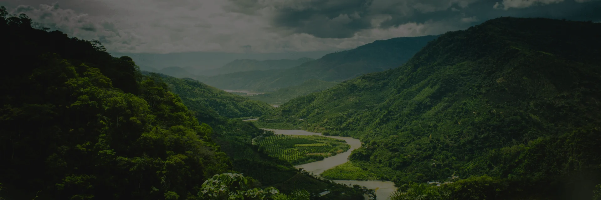
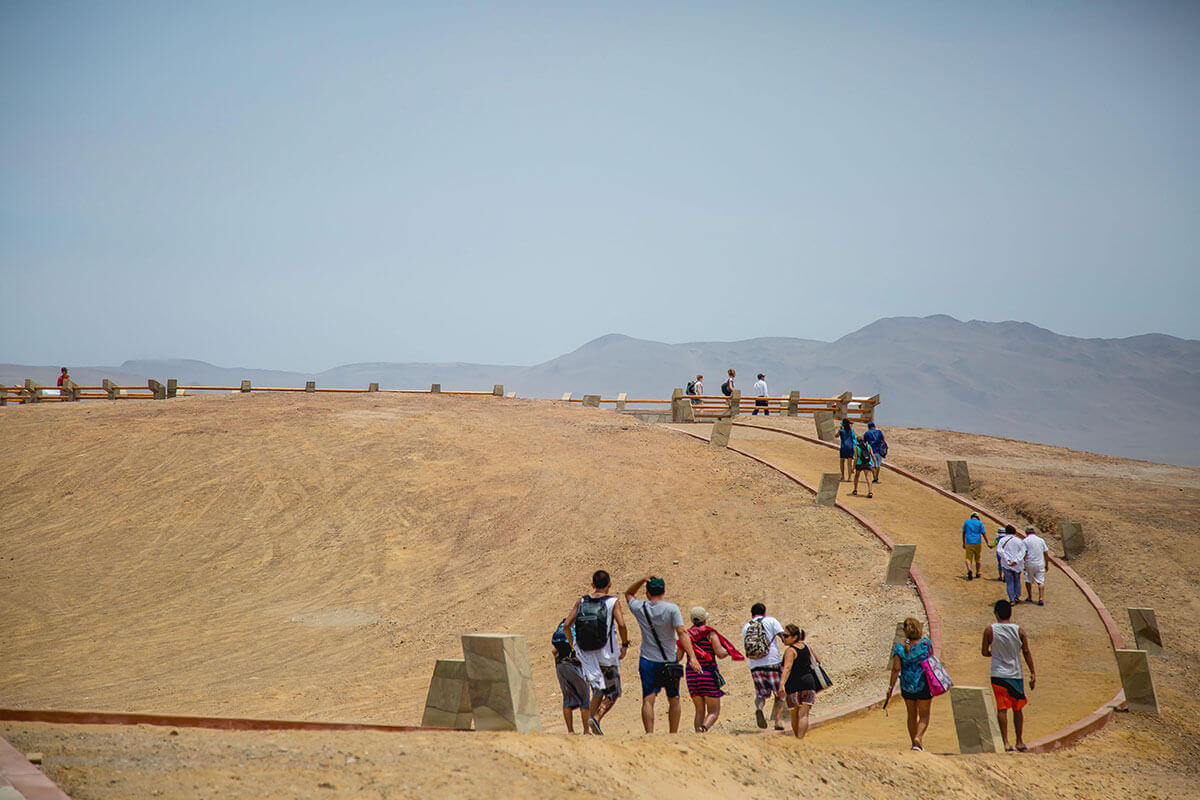
The Paracas National Reserve is the most precious jewel of our marine-coastal protection system, as well as a unique place on the coast of Peru due to its exceptional biological diversity and its particular geography. Located on the edge of the Ica desert, one of the driest and most rugged on the planet, the reserve has an incredible variety of natural life, which has made it to be considered as the Galapagos of this part of the South American Pacific.
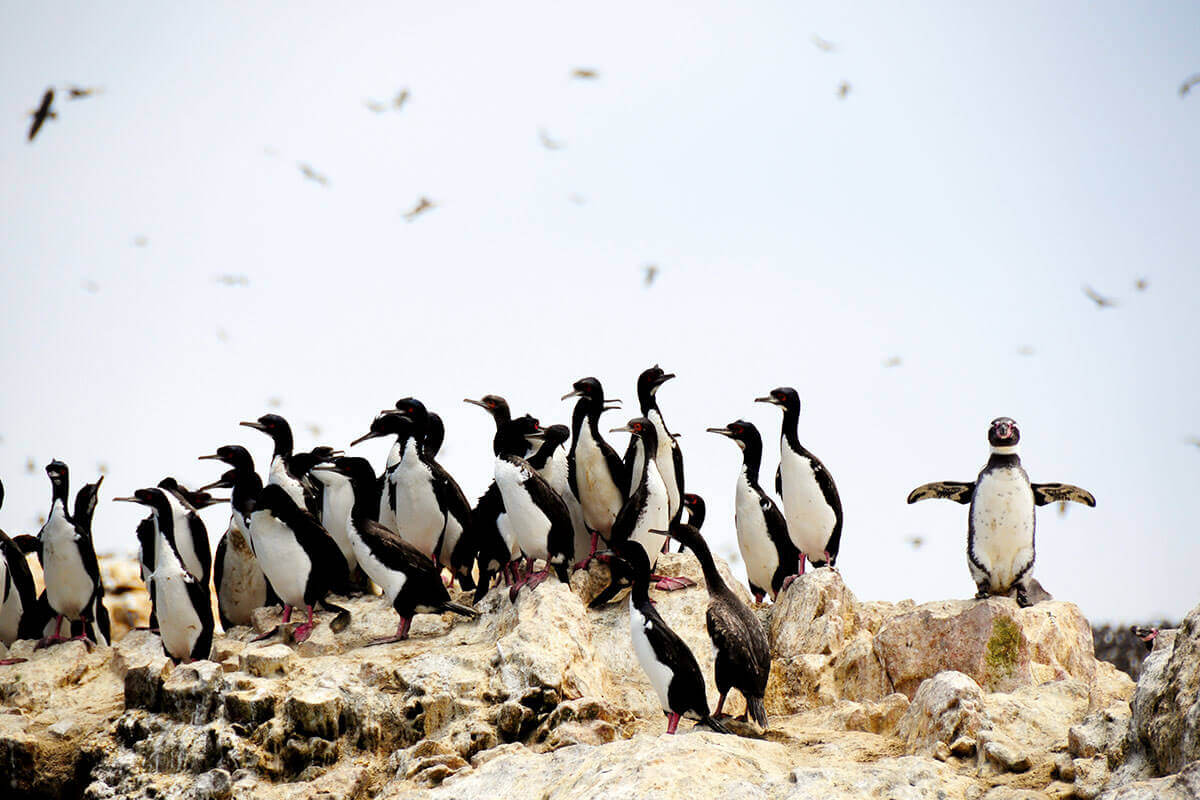
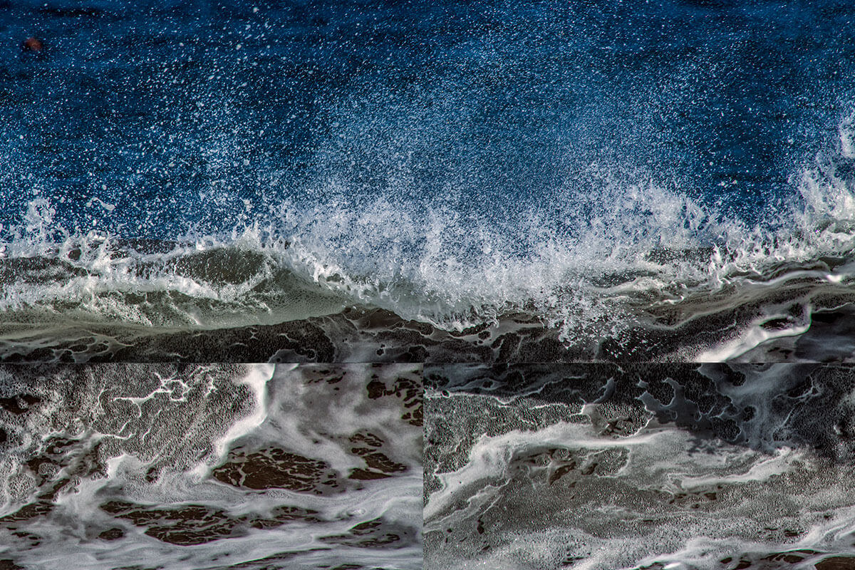
In its beaches of multiple designs, in its salt flats and its dunes, in its bays, peninsulas, in its islets and islands, as well as in the other geographical features that make it up, there is a varied fauna:

Province of Pisco and Ica, region of Ica.

335 000 hectares, of which 35% correspond to the mainland and islands and 65% to marine waters.


Monday to Sunday from 9:00 to 16:00 h. Before 9:00 h, prior coordination with the administrative headquarters. The purchase of the ticket and access to the Paracas National Reserve is through the Santo Domingo Checkpoint.
| VALID FOR 1 DAY | VALID FOR 2 TO 3 DAYS | VALID FOR 4 TO 30 DAYS |
|---|---|---|
|
General Nationals Locals2 |
General Nationals Locals2 |
General Nationals Locals2 |
¹ Children from 5 to 16 years old. Children under 5 years old get free admission.
² Local residents with presentation of ID.
Promotional rate 2x1.
Paracas NR and SIIGP NR Sector Islas Ballestas.
Adults: 17 soles.
Head of the PNA
| From Lima, access by Carretera Panamericana: | Km 245 Panamericana Sur - Paracas. |
| Means of transport: | interprovincial bus / car. |
| Access road: | paved road. |
| Road Status: | good. |
| Distance in km / time: | 272 km / 4 hours. |
Supay Beach - La Catedral – Playa Roja – Istmo de la Peninsula - Santa María – Playa La Mina – Playa Raspón – Playa Yumaque.
Access to the circuit: bicycle - ATVs.
Distance / time: 26 km / 4-6 hours.
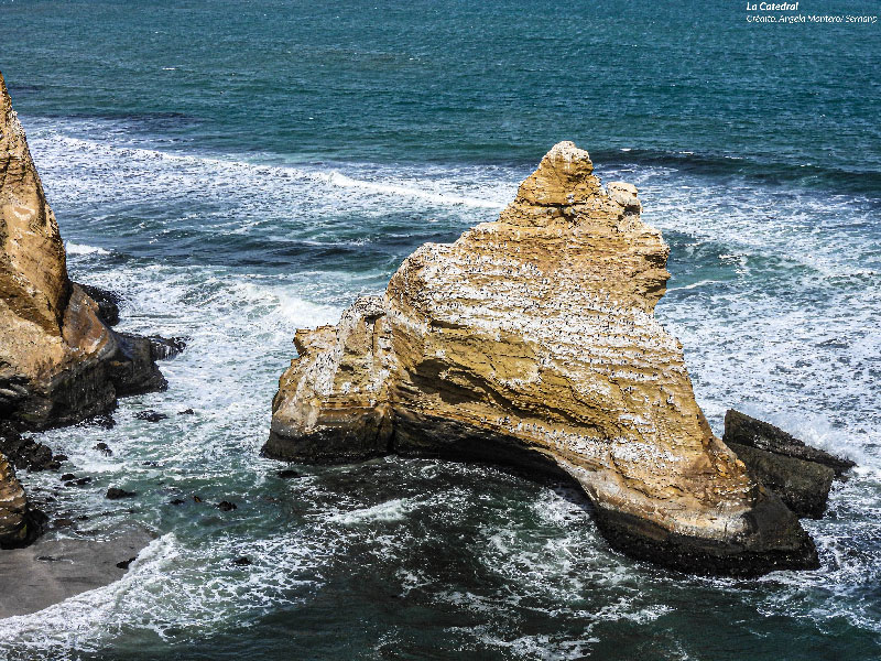
La Catedral (The Cathedral): an impressive geological formation, product of the intense erosion of the wind and the sea over time, on a salty cliff. It is located 10 km from the main entrance, by paved road.
El Candelabro (The Chandelier): an enigmatic 180-meter-long geoglyph, to the north of the Paracas peninsula, which can be seen on the way to the Ballestas Islands (from the sea).
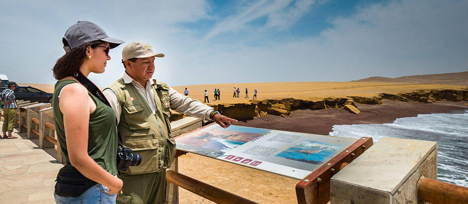
Playa Roja: viewpoint of singular beauty. Its color is due to the proximity to the massif of Punta Santa María, formed by rocks with solidified red magma.
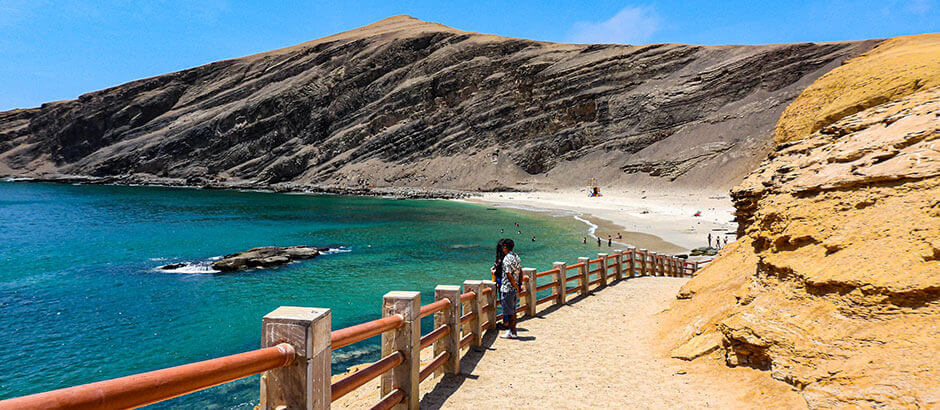
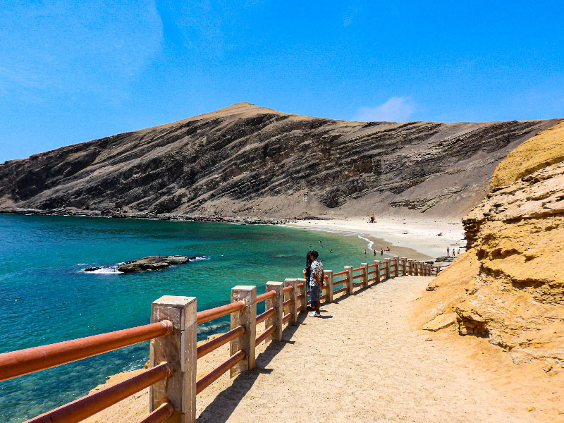
La Mina and Raspón Beaches: the most visited in the reserve due to their great scenic beauty and cliffs, with a calm sea of calm and crystalline waters. Easy access.
Also find out which operators have the Aliados por la Conservación brand here
At the moment there are no tour operators
