Location
Province of Sandia, Carabaya and Tambopata, department of Puno and Madre de Dios.
 Search in Map
 Alerts

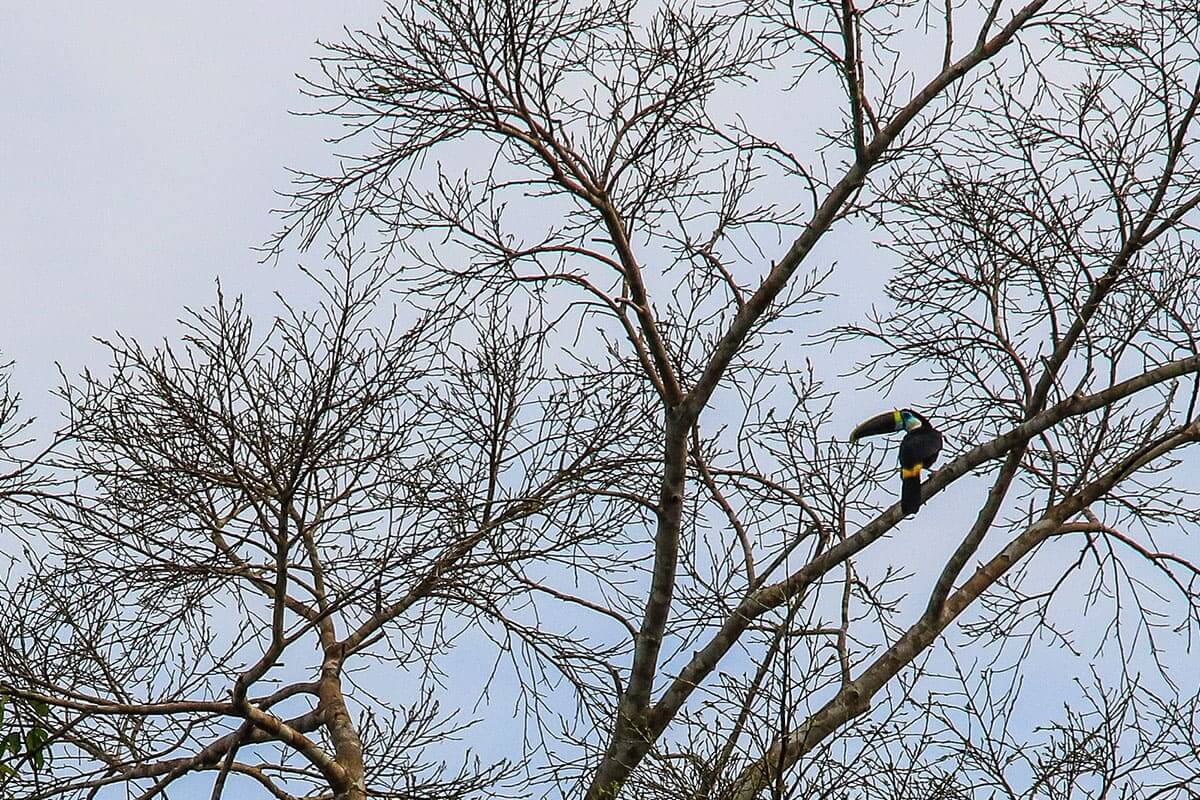
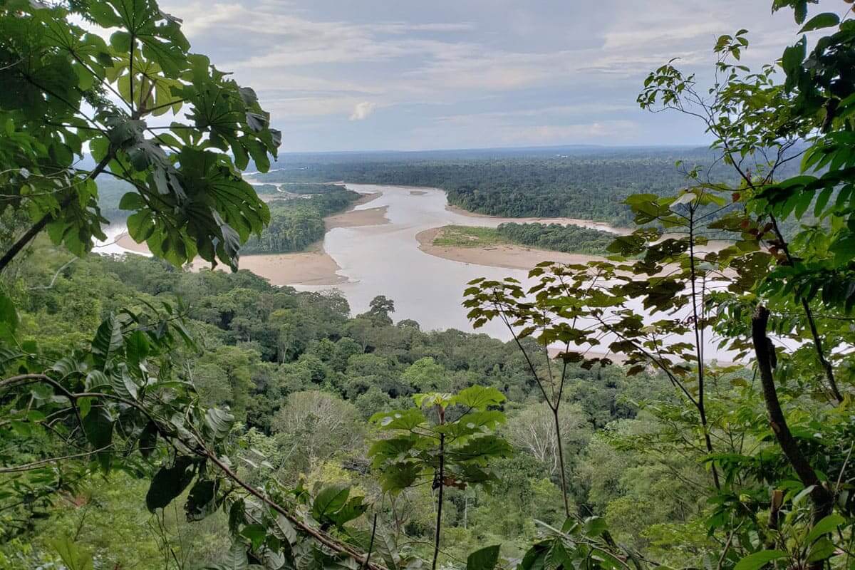
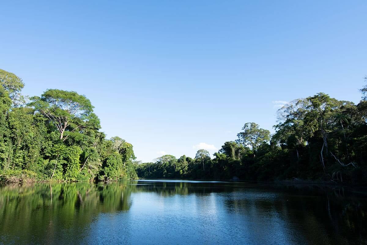
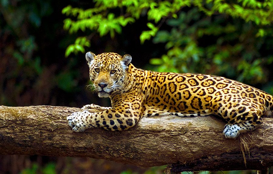
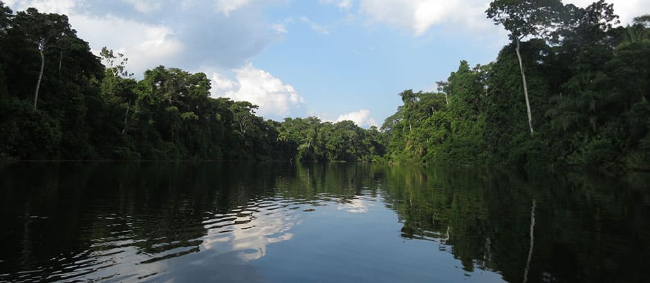
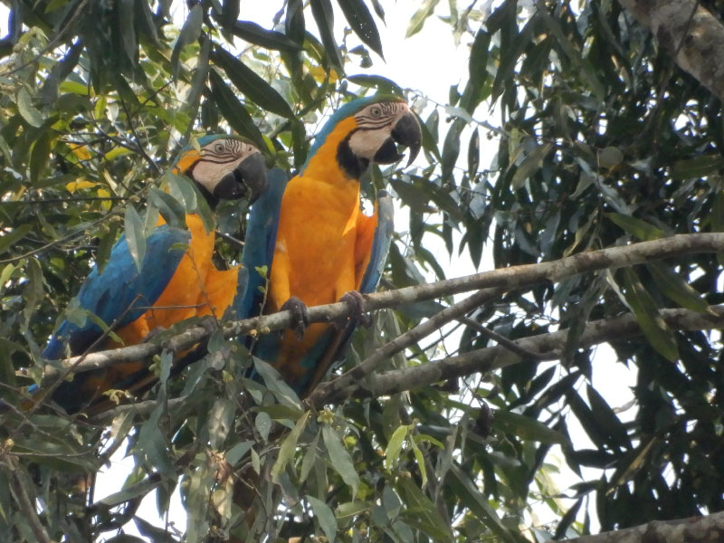
This park owes its name to the two main rivers, Tambopata, and Heath; Bahuaja: Tambopata, and Sonene: Heath, in the Tacana Amazonian dialect of the Ese’eja ethnic group. It conserves grasslands (Pampas del Heath) surrounded by an Amazon rain forest, turning it into an island in the middle of the forest. Likewise, it constitutes one of the few areas of the Amazon that is free from human intervention. Like a wild paradise, this park is home to endangered species that coexist in perfect harmony with nature; such is the case of the boisterous and famous macaws, harpy eagles, otorongos, tapirs, giant anteaters, spider monkeys and giant otters, in addition to the more than 1200 species of butterflies.
In Bahuaja Sonene, there are:

Province of Sandia, Carabaya and Tambopata, department of Puno and Madre de Dios.

1,091,416 hectares.


Heath and Alto Tambopata Sectors: Monday to Sunday from 08:30 to 17:30 h. Pamahuaca Sector: Monday to Sunday from 08:30 to 16:00 h.
| VALID FOR 1 DAY | VALID FOR 2 TO 3 DAYS | VALID FOR 4 TO 30 DAYS |
|---|---|---|
|
General National Locals2 |
General National Locals2 |
General National Locals2 |
¹ Children from 5 to 16 years old. Children under 5 years old get free admission.
² Local residents with presentation of ID.
There are no promotions on the admission ticket at the moment.
Head of the PNA
| For the Alto Tambopata sector | |
| From Lima to Juliaca: | by air in 1 hour and 30 minutes. |
| From Cusco to Juliaca: | by air in 1 hour. |
| From Lima to Juliaca: | by land 20 hours / 1268 km. |
| From Juliaca to Sandia: | by land in 8 hours/ 227 km. |
| From Cusco to Sandia: | by land in 8 hours / 419 km. |
| From Cusco to Sandia: | Putina Punco: from Sandia to San Pedro de Putina Punco, by land in 4 hours. From San Pedro de Putina Punco to Curva Alegre PC, by land in 1 hour. From Curva Alegre PC to Bahuaja Sonene NP, waterway in one day / 24.5 km. |
| From the Bahuaja Sonene National Park to Puerto Maldonado: | Vía terrestre en 4 horas. |
| De San Pedro de Putina Punco al CP Curva Alegre: | Vía terrestre en 1 hora. |
| Desde el CP Curva Alegre al PN Bahuaja Sonene: | by river in 8 days / 320 km. |
| For the Heath sector | |
| From Puno to Puerto Maldonado: | by land in 8 hours / 604.9 km. |
| From Puerto Maldonado to the San Antonio PVC of Bahuaja Sonene NP: | by water in 5 hours. |
| For Pamahuaca | |
| From Puno to Inambari (Mazuko): | by land in 6 hours. From Inambari to Kotsimba NC, by land in 1.5 hours. |
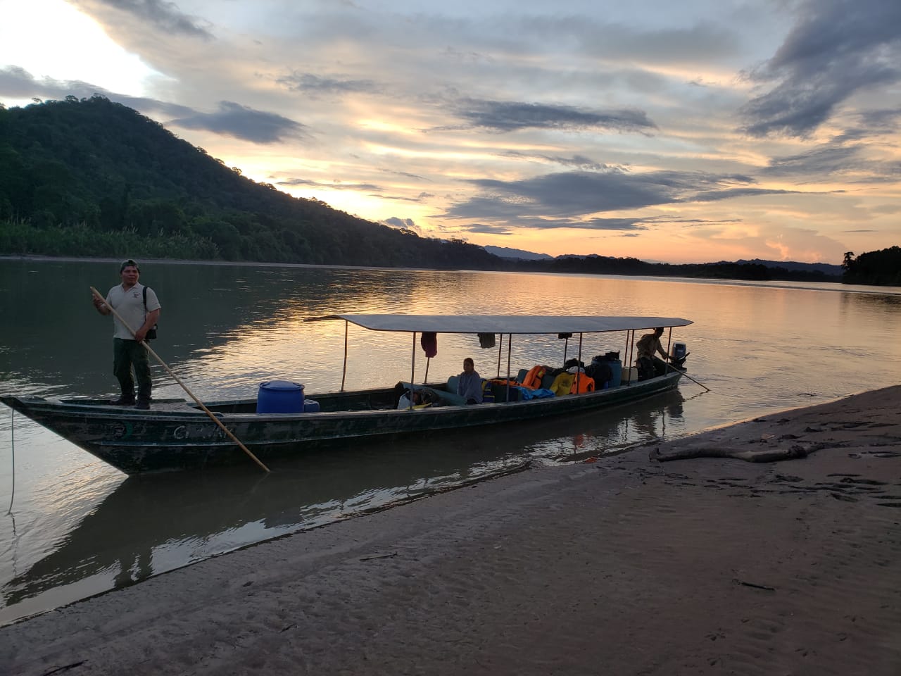
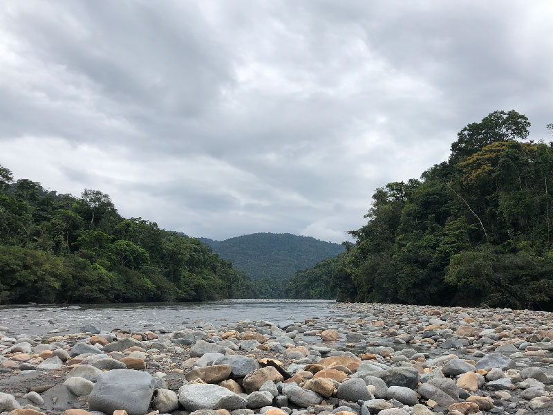
Considered one of the three best places for rafting in Peru, it is visited by national and foreign tourists. The tour begins in the upper part of the Tambopata River, with inflatable rafting and kayaking boats. During the trip it is possible to observe fauna in its natural state and a unique and wild landscape (without human presence). The overnight stay is on the widest and highest beaches. Likewise, a tour of the nearby primary forest is carried out.
Upon reaching the mouth of the Távara River, the motorboat change is made, and the experience is complemented by visiting shelters on the Tambopata NR, where flora and fauna observation activities, tour of tourist trails, etc. are carried out.
Also find out which operators have the Aliados por la Conservación brand here
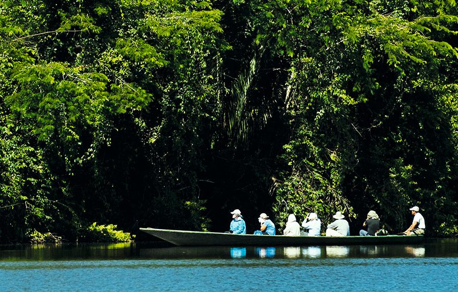
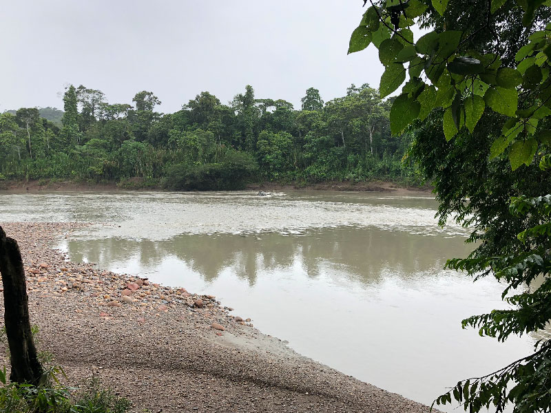
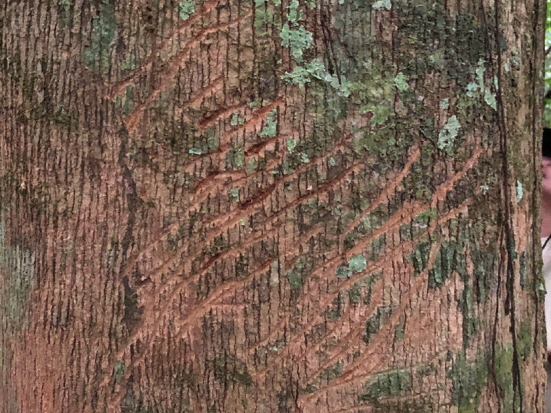
Located on the left bank of the Tambopata River, 2 hours by Carretera Interoceánica and 4 hours by outboard motorboat from the city of Puerto Maldonado and the port of Philadelphia, respectively. The Tambopata River is traveled until reaching the Malinowski PVC, where the registration is carried out up to the confluence of the Tambopata and Távara rivers. As you continue with the trip, you can camp on the high beaches. The tour can be done only up to the end of the canyon.
Also find out which operators have the Aliados por la Conservación brand here
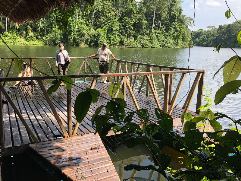
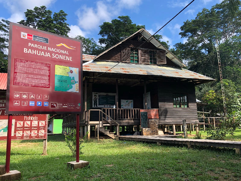
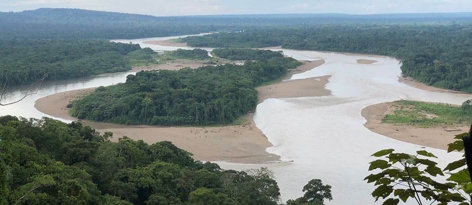
Located on the left bank of the Heath River, 4 hours by outboard motorboat from the city of Puerto Maldonado. Upon reaching the mouth of the river, the natural border with Bolivia, register at the River Checkpoint in the Puerto Pardo PC. As you continue with the trip, you can visit the Sonene native community, of the Ese'eja ethnic group, until you reach the San Antonio Biological Station and Checkpoint.
Lake Guacamayo is 6 km upriver and traveling a 210-meter trail. In this place we can find a family of river wolves (Pteronura brasiliensis) made up of 7 members, who are seen hunting and grooming themselves on the trunks. This lake can be traveled by catamarans or wooden boats, offered by the PNA or tour operators. We can also observe diverse fauna such as characteristic mammals and birds of the low jungle.
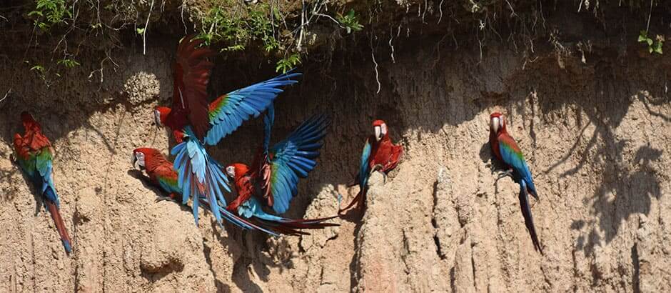
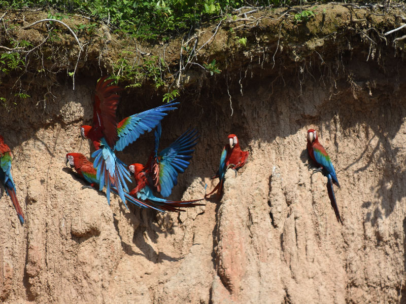
10 km upriver and crossing the 2 trails (entry and exit) of 1450 meters, is the Heath clay lick. It is visited by different species of birds such as large macaws, parrots, parakeets and also by mammals. You can see the clay licking of endemic and representative birds of the sector such as the red and green macaw (Ara chloroptherus), chestnut-fronted macaw (Ara severus), golden-fronted parrot (Aratinga aurea), mealy parrot (Amazona farinosa), yellow crown (Amazona ochrocephala) and mammals such as the ocelot (Leopardus pardalis) and the black machín (Cebus apella), etc.
Also find out which operators have the Aliados por la Conservación brand here
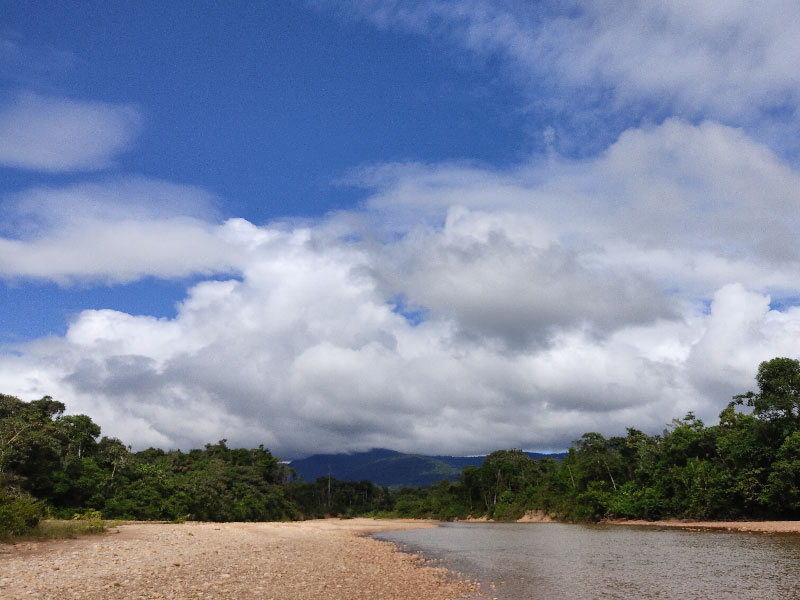
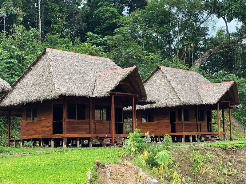
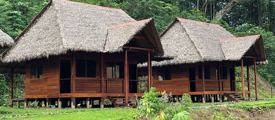
You must first arrive to the Kotsimba native community, located at km 307 of the Carretera Interoceánica, continuing the journey through the bed of the Malinowski River until you reach the Pamahuaca River. Visitor registration is carried out at Pamahuaca PVC, and you can also spend the night there. When walking or riding ATVs through the trails, you can observe characteristic flora and fauna of the high and low jungle. During the journey you can find the Kotsimba NC hostel, who are the tour operators of the sector.
Also find out which operators have the Aliados por la Conservación brand here
At the moment there are no tour operators
